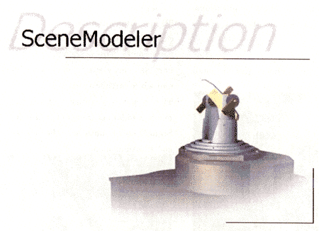
SceneModeler is a data collection and processing system which combines a fast, high resolution, high fidelity distance measurement sensor with processing software which creates 2D drawings or 3D models exportable to industry standard CAD and modeling software.
・Architecture/Engineering
Create existing condition models and drawings of infrastructure, buildings and urban areas. Generate cost effective floor plans, elevations and site layouts. Interfaces with AutoCAD (r12, r13 & r14), Microstation, CATIA, IGRIP and other CAD packages.
・Construction
Create accurate as-built plans, cut/fill estimations, site contours and existing condition models.
・Petroleum and Process Plants
Quickly generate accurate models of pipe layouts, process plant configurations, and infrastructure.
・Transportation
Check rail alignments, generate facility models for renovations, layouts for traffic studies, and models for environmental impact studies.
・Ship Construction
Great for ship checking and construction fit ups. Measure and model complex hull, deck and bulkhead configurations quickly and easily. Uses same solid modeling core as TRIBON 4 and BRAVO.
・Simulation and Modeling
Quickly and easily create accurate models for computer graphics and simulation/training applications. Works great with 3D Studio MAX.