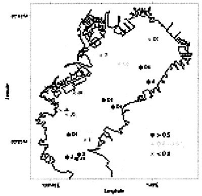
FIGURE 7. Map showing the maximum lagged correlation at the surface layer (see also Table 1). The names of the TOBEX stations are also shown beside each symbol.
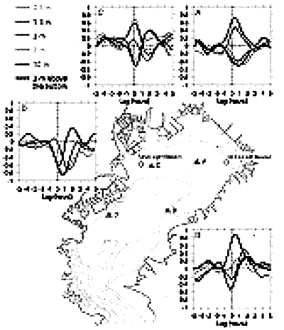
FIGURE 8. Cross correlation functions in north component between the wind at Chiba Light Beacon and low-pass filtered current at 0.5 m, 1.5 m, 3 m, 7 m and 10 m depths from the sea surface and 3 m depth above the bottom (after Oshima et al., 1990).
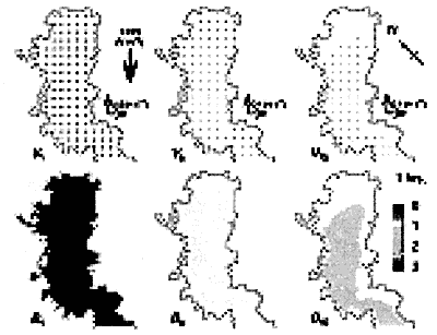
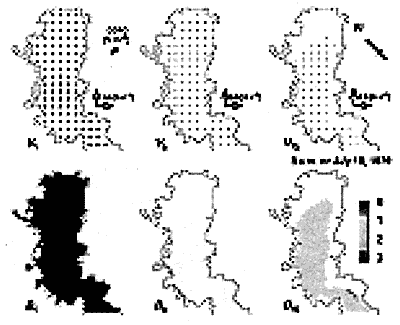
ANIMATION 1. Sequential patterns of computed horizontal velocity fields and density (buoyancy B) distribution at the surface (at 0.5 m depth), the middle (7.5 m), and the lower (14.5 m) layers during the period from 1 through 72 h, at 1-hourly intervals from the beginning of computation. The thick arrow in the figure shows the wind stress used in the numerical model.
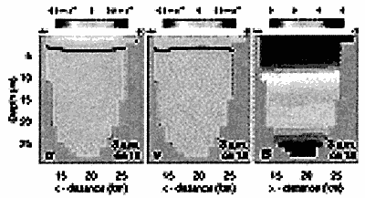
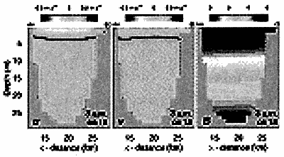
ANIMATION 2. Sequential patterns of southeastward velocity μ, north-westward velocity υ and vertical density (buoyancy B) distribution at the transverse section y=40 km shown in Figure 4, at each 1 hour interval from the beginning of computation. Thick lines for μ and υ indicate the 0 m s-1 contour.
ANIMATION 3. Same as Animation 1, but from 18.00h on 18 July through to 06.00h on 26 July 1979, at 3-hourly intervals. The thick arrow in the figure shows the wind stress used in the numerical model.
ANIMATION 4. Same as Animation 2, but from 18.00h on 18 July through to 06.00h on 26 July 1979, at 3-hourly intervals .