|
Purpose:
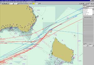
To show general navigation patterns in the area covered by HELCOM in break-downs of number of ships and composition of traffic
It should thus be possible to identify general navigation patterns and enable a division of patterns by categories
Presentation of the data:
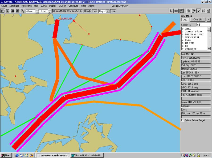
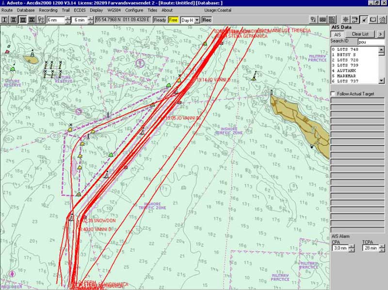
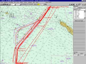
Data to be presented/saved
・Static information
・Type of ship
・Dimensions
・Nationality (MMSI)
・Dynamic information
・Position of ship
(every 6 minutes)
・Speed
・Voyage related information
・Draught of ship
・Hazardous cargo (type)
|
(拡大画面:70KB)
|

|
|
(拡大画面:81KB)
|
|
|
(拡大画面:68KB)
|
|
Summary
・Access to AIS information from 6 countries in the Baltic area in ongoing tests.
・10 countries in the Baltic area will by 1:st of July 2005 have access to (filtered) AIS information from each other.
・AIS information will be stored and ship traffic statistics for the Baltic area produced and available to competent authorities.
|