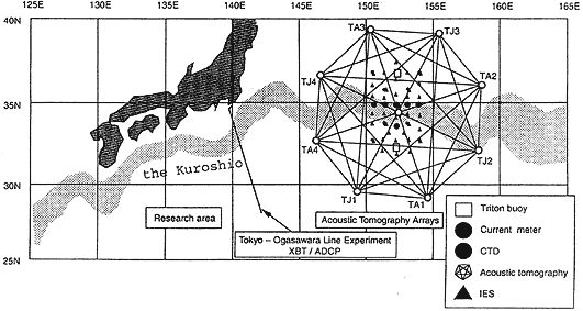
Fig. 1Ѓ@Study area map. The TOLEX line is located between Tokyo (35N, 140E) and Ogasawara Island (27N,142E). The field experiment is planned in the Kuroshio Extension region.
Ѓ@
The ADCP system has worked all the time the ferry regularly shuttles, 58 times in a usual year, and then 116 sections of current profile upper 400m deep has been obtained in a usual year. The data we used are 467 cross section along the ship course, obtained from February 1991 to January 1996. The number of 26 vertical bins was set as their length of 16m. In horizontal we sampled each pinging data in every 300seconds. As the ferry ran at the speed of about 20knots, the horizontal resolution was about 3.2km. Our attention is paid to large-scale phenomena of ocean. In order to analyze time series of many section data easily they are put on temporal grid points by using a Gaussian filter. 58 grid points are put on 1st and 16th day of every month from February 16th 1991 to January 16th 1996. The e-folding scale is 15 days.
Ѓ@
2.Ѓ@Features of flow fields and the Variation of the Kuroshio
The time series of flow field of the 3rd bin (47m) is shown in Fig. 2. Strong eastward flow of the Kuroshio fluctuated north and south with time are seen. Until July 1991 it existed near 33-00N, south of the Hachijo Island, which is southern part of the two stable paths of the Kuroshio over the lzu Ridge. From September 1991 to April 1993 the Kuroshio existed northern part of the stable paths, near 34-30N, except in a period from May to August 1992 when it might be branched or alternated both two paths. From May 1993 to August 1993 it existed southern latitude again, near 32-30N. After that it is stable in the northern path for more than 1 year, and after then it fluctuated between two stable paths.